Autonomous Flight & Path Planning
CATEGORYAutomated waypoint navigation, obstacle avoidance, and programmed precision patrol missions.
Autonomous unmanned systems, precision industrial inspection, AI-powered aerial surveillance, and rugged robotics engineered for mission-critical heavy industry and defense operations.
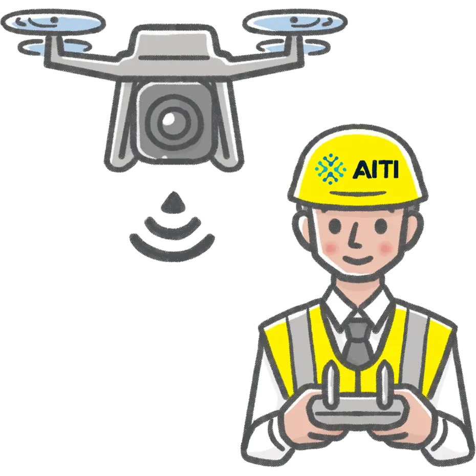
Conducting manual inspections and wide-area surveying across vast agricultural fields, active mining pits, offshore energy rigs, and sensitive border zones is hazardous, slow, and operationally expensive. AITI integrates ruggedized drone fleets, autonomous ground robotics, and intelligent telemetric sensors into unified command platforms. By pairing specialized hardware with real-time AI computer vision and edge analytics, we eliminate human safety hazards, accelerate spatial surveying, and deliver actionable operational intelligence in the most demanding terrains.
Surveying thousands of hectares of plantation, inspecting infrastructure at height, or monitoring a large industrial site by hand takes significant time, manpower, and risk. These are exactly the operations where a small mistake or delay in gathering accurate data can be costly.
AITI deploys drone and robotics solutions for aerial mapping, infrastructure inspection, agricultural monitoring, and site surveillance, delivering data and coverage that would otherwise take days and considerable manpower, in a fraction of the time and without putting people at unnecessary risk. All operations run under proper permits and within Indonesian aviation regulations.
This work often pairs with our GPS Tracking service for businesses managing large fleets of vehicles or equipment across the same sites.
Engineered hardware capabilities and advanced software integrations powering our robotic deployments.
Automated waypoint navigation, obstacle avoidance, and programmed precision patrol missions.
Centimeter-accurate spatial mapping, point cloud generation, and digital elevation modeling.
Advanced radiometric thermal sensors and optical cameras for non-contact leak and heat detection.
Real-time edge AI processing for automated anomaly detection, crack identification, and target tracking.
Encrypted BVLOS telemetry transmission, remote pilot control, and private cloud data streaming.
A major mining operator in Kalimantan spent over 5 days each month manually surveying open-pit stockpiles, exposing ground teams to landslide risks and causing delayed inventory reporting.
AITI deployed autonomous RTK-enabled surveying drones paired with automated photogrammetry and cloud-based volumetric processing software.
Stockpile measurement turnaround reduced from 5 days to 4 hours with 99.2% volumetric accuracy and zero ground personnel exposure to hazard zones.
monitoring crop health across large land areas.
surveying and inspecting sites too vast or hazardous for manual checks.
inspecting hard-to-reach structures like towers and pipelines.
large-area mapping and monitoring projects.
automated surveillance of large or remote sites.
IP-rated weatherproofing, ATEX explosion-proof compliance, and redundant avionics built for extreme industrial terrains.
AES-256 encrypted datalinks and secure private cloud/on-premise data pipelines protecting confidential spatial and operational data.
Certified pilot operations, aviation regulatory compliance (DGCA/DKPPU), and full sensor calibration and maintenance programs.
We handle all necessary permits and operate within Indonesian aviation regulations for every deployment.
This depends on your needs, from one-time surveys to scheduled recurring monitoring programs.
Processed maps, reports, and imagery in formats compatible with common GIS and analysis tools.
Yes, our robotics solutions extend to indoor and repetitive operational tasks, not just aerial work.
Operations are scheduled around safe flying conditions, and we plan around Indonesia's rainy and dry seasons accordingly.
AITI provides licensed pilots and equipment as part of the service, so you don't need to invest in your own fleet.
Yes, we support multi-site deployments as part of a single engagement, coordinated centrally.
Both, we support single-project engagements as well as long-term monitoring contracts.
 DIGITAL FOUNDATION
Protect business from cyber threats with assessment, hardening, monitoring, and incident response.
 DIGITAL FOUNDATION
Secure your AI infrastructure, LLM models, and Data Privacy
 DIGITAL FOUNDATION
Design, installation, and management of stable, secure office networks
 DIGITAL FOUNDATION
Navicat Licensing, Implementation, Multi Cloud Database, and Management
 BUSINESS SYSTEM
Migration, architecture, DevOps, and backup managed by AITI.
 BUSINESS SYSTEM
Custom web and mobile applications to your business workflows.
 BUSINESS SYSTEM
Clear IT Roadmap to digital transformation
 INTELLIGENT OPERATIONS
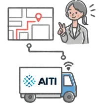
Monitor your business fleet and vehicles in real time with geofencing and automated alerts.
DIGITAL FOUNDATIONProtect business from cyber threats with assessment, hardening, monitoring, and incident response.
DIGITAL FOUNDATIONSecure your AI infrastructure, LLM models, and Data Privacy
DIGITAL FOUNDATIONDesign, installation, and management of stable, secure office networks
DIGITAL FOUNDATIONNavicat Licensing, Implementation, Multi Cloud Database, and Management
BUSINESS SYSTEMMigration, architecture, DevOps, and backup managed by AITI.
BUSINESS SYSTEMCustom web and mobile applications to your business workflows.
BUSINESS SYSTEMClear IT Roadmap to digital transformation
INTELLIGENT OPERATIONSMonitor your business fleet and vehicles in real time with geofencing and automated alerts.
